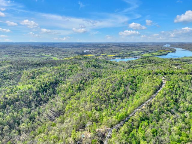
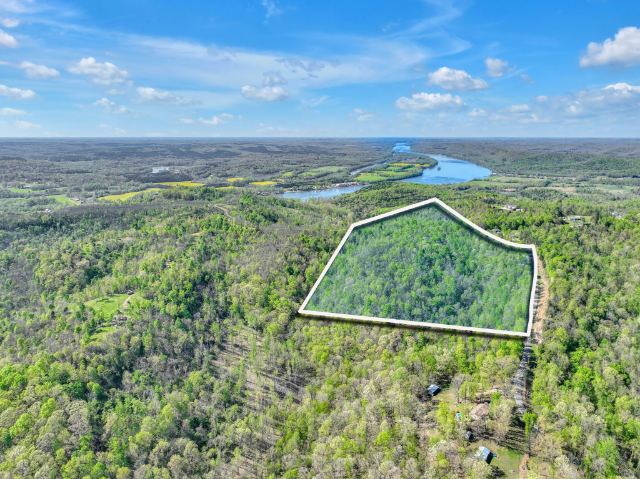
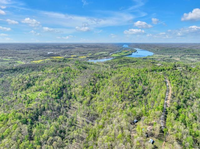
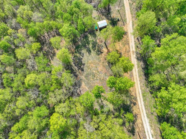
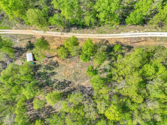
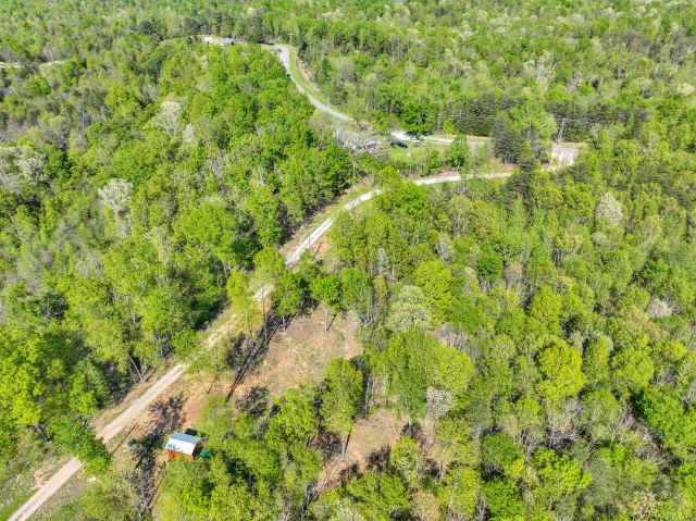
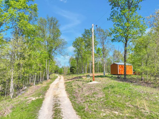
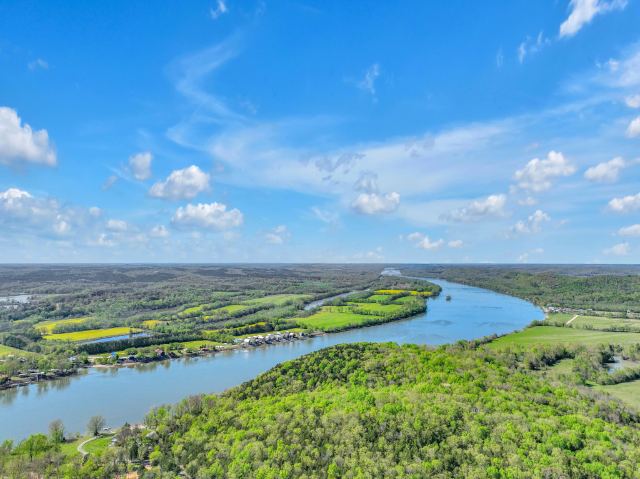
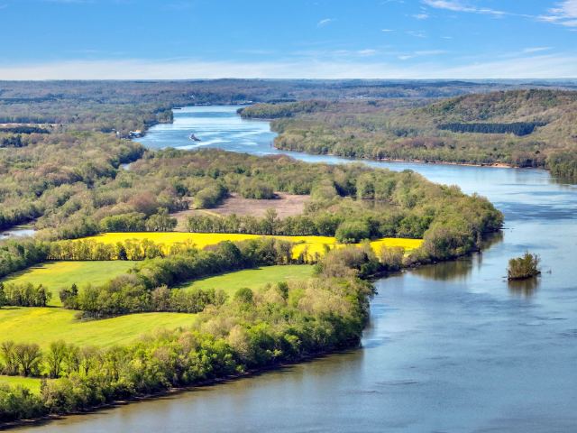
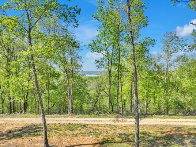
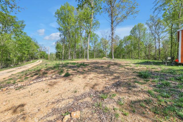
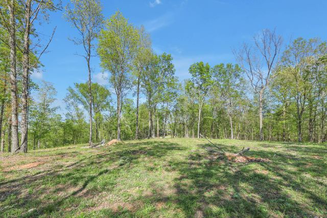
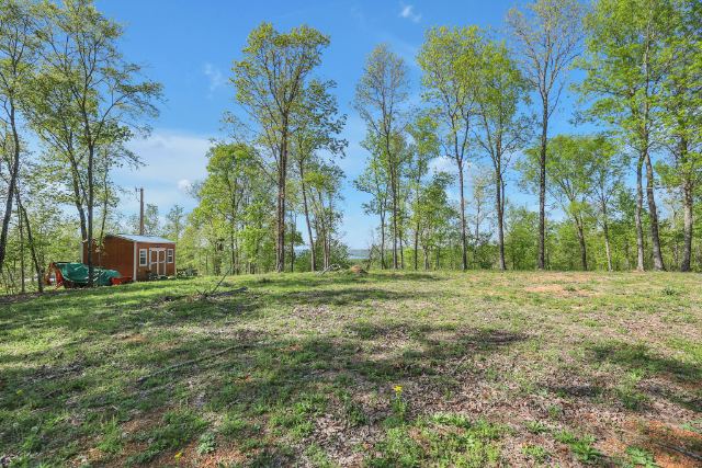
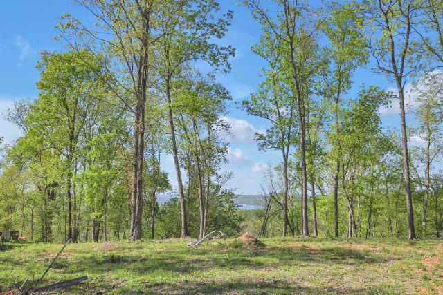
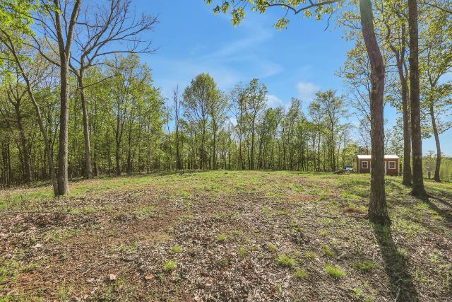
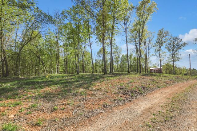
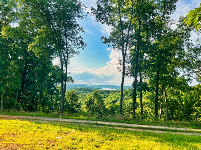
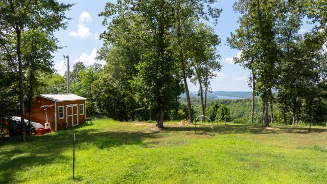
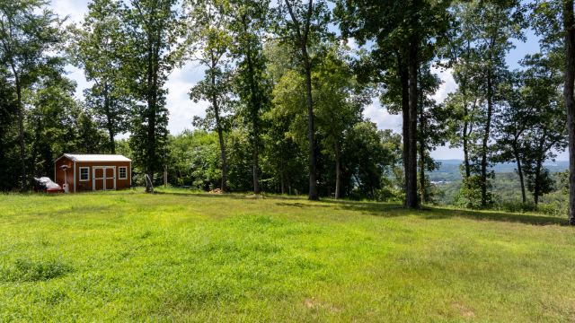
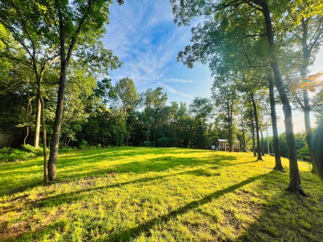
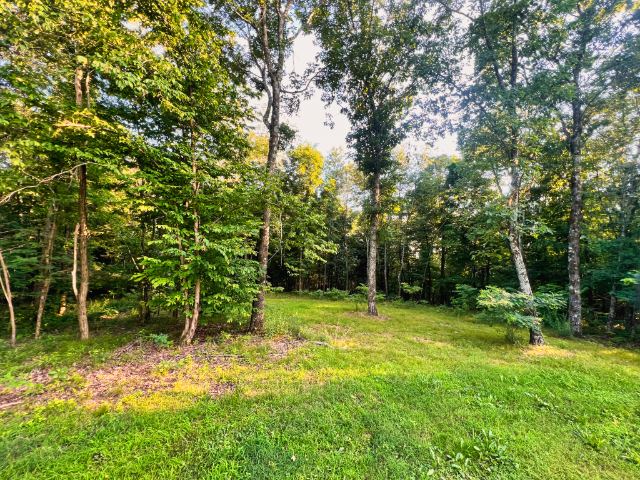
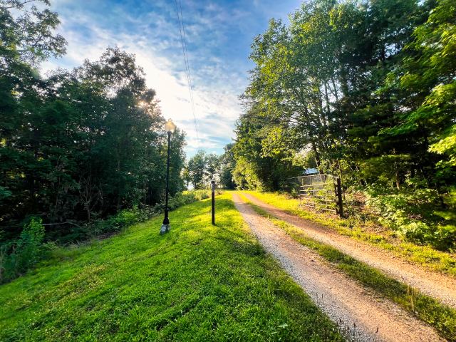
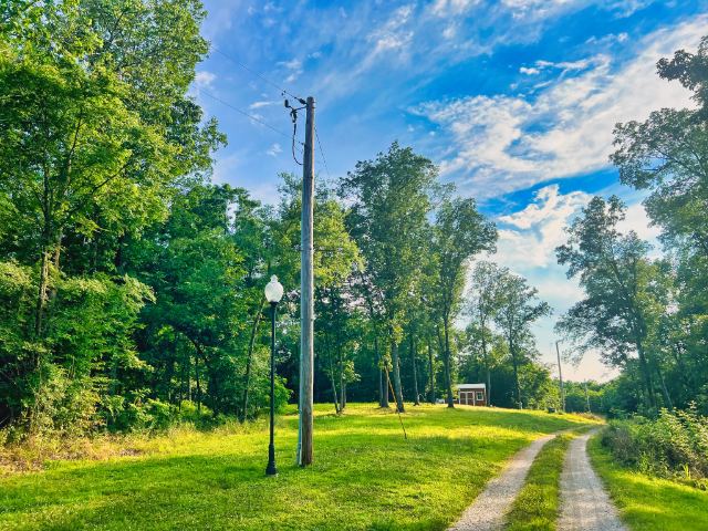
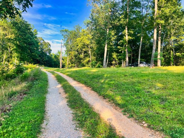
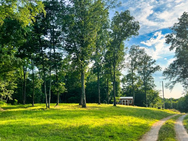
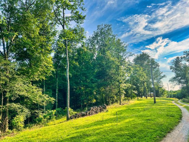
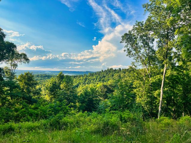
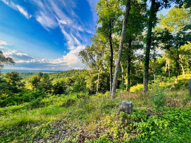
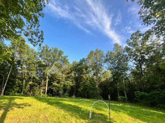
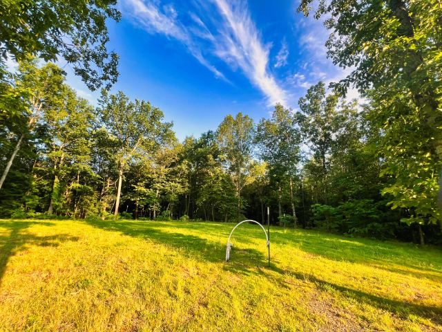
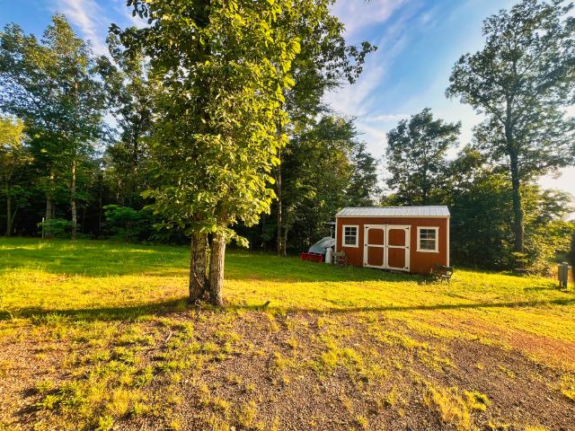
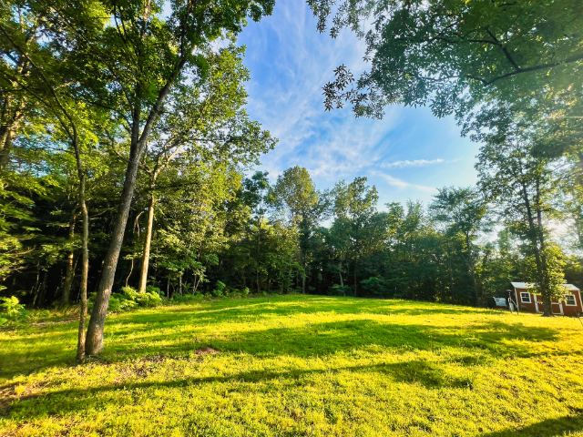
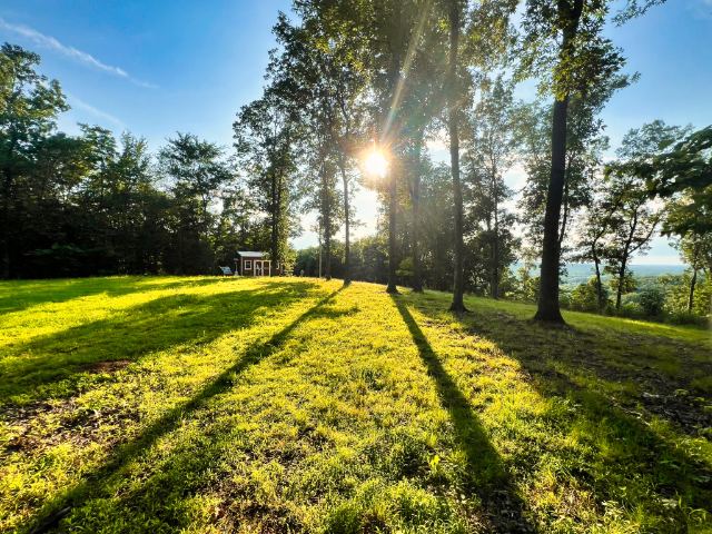
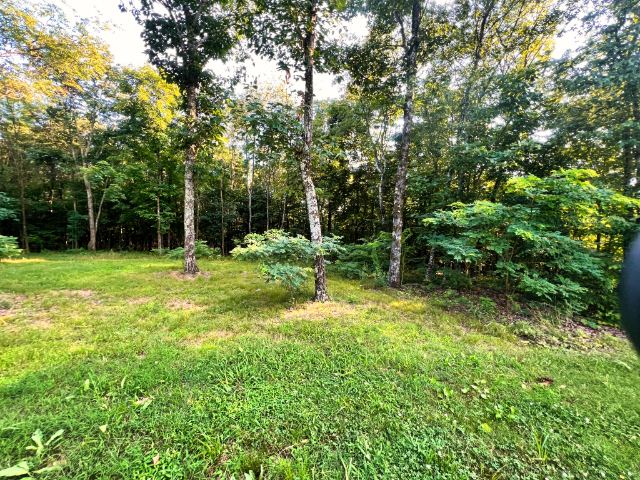
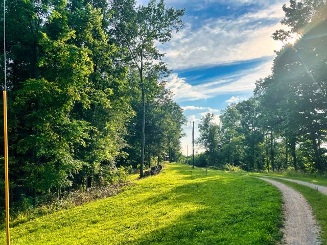
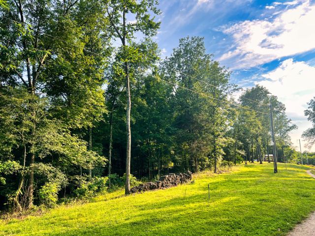
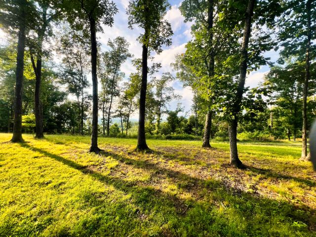
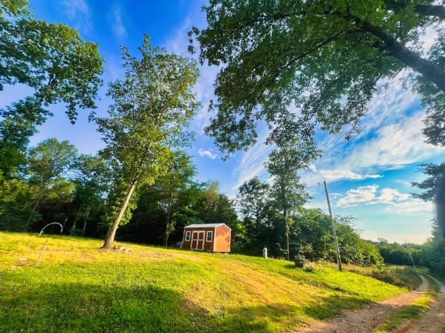
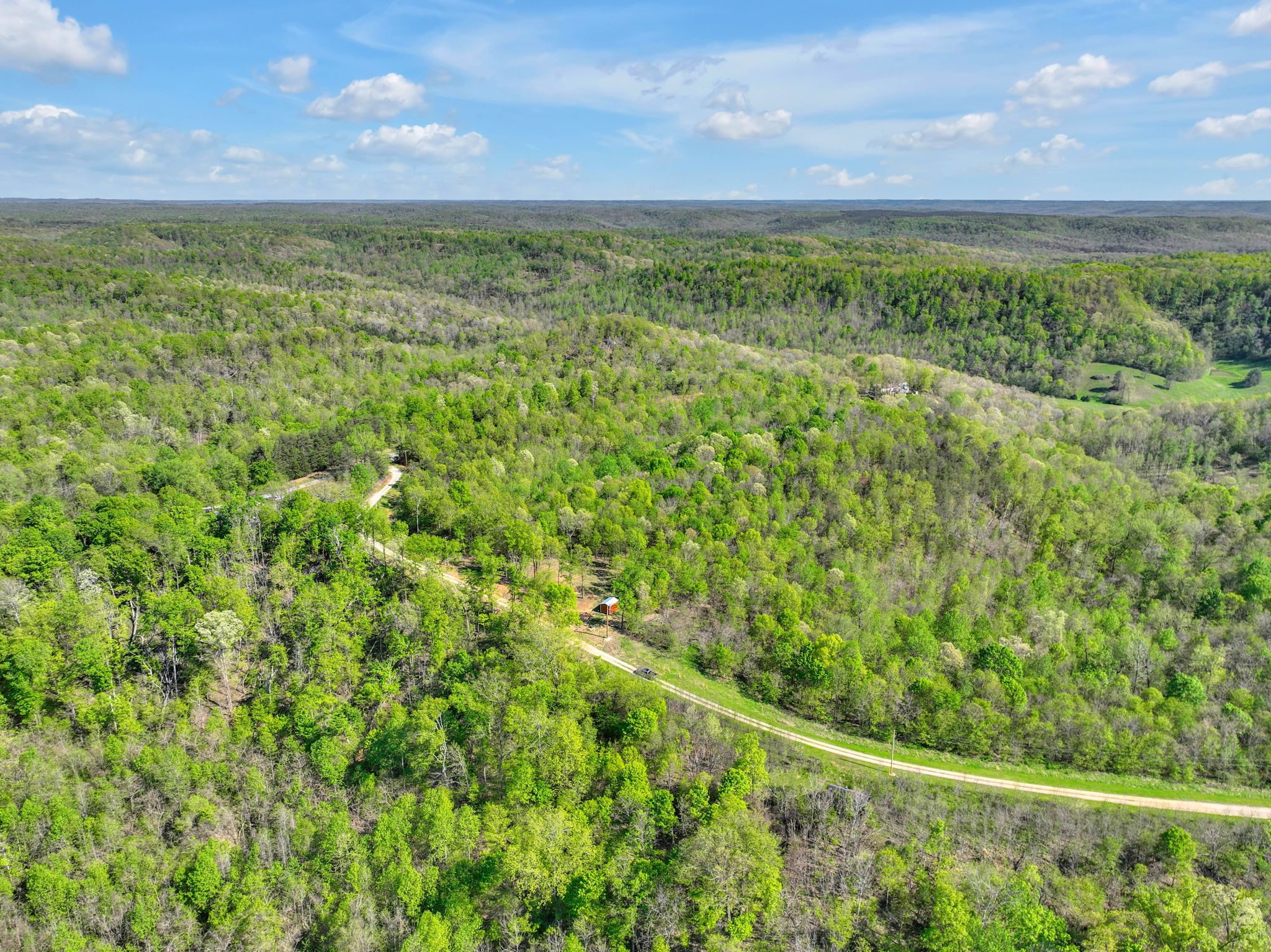
This build-ready Tennessee River estate on 26.4 acres offers a rare opportunity for development. With city water, electric service, and fiber internet all connected at the homesite, and a prior septic approval permit…
Prepared by Jason Galaz, Find a Home & Find Land in Tennessee Team, brokered by eXp Realty
City water reported active at the homesite
200-amp underground electric installed, both state inspections passed
Fiber connected to the home build site through MLConnect
State-evaluated 3-bedroom septic site (2022 permit, expired 3/14/2025; reissue path in the report)
Bottom line for buyers: The rarest ingredients of a rural build, city water, installed electric, fiber, and a state-evaluated septic site, are already in place on the north bench (Zone A on the maps). Verify the utility accounts in your own name, have TDEC reissue the expired septic construction permit before closing if possible, keep structures on Zones A and B, and treat the steep hollows as the privacy and recreation half of the property.
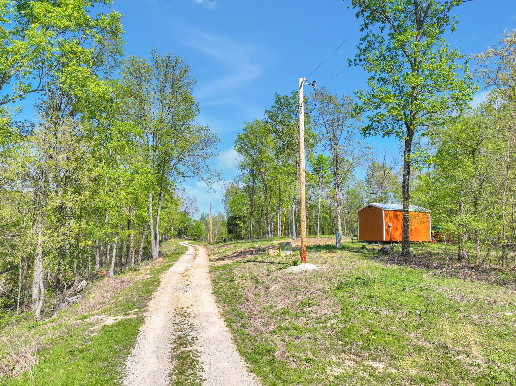
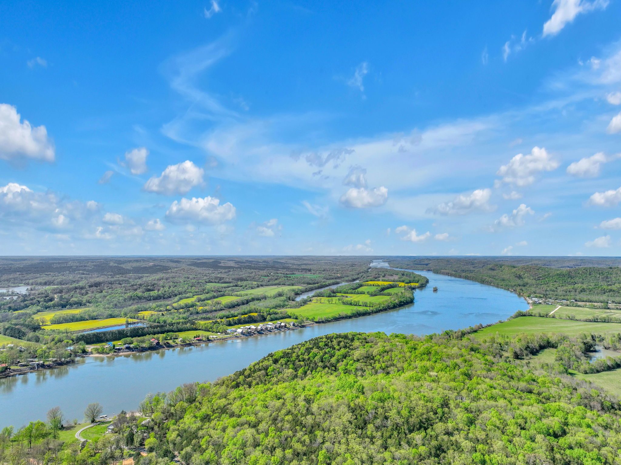
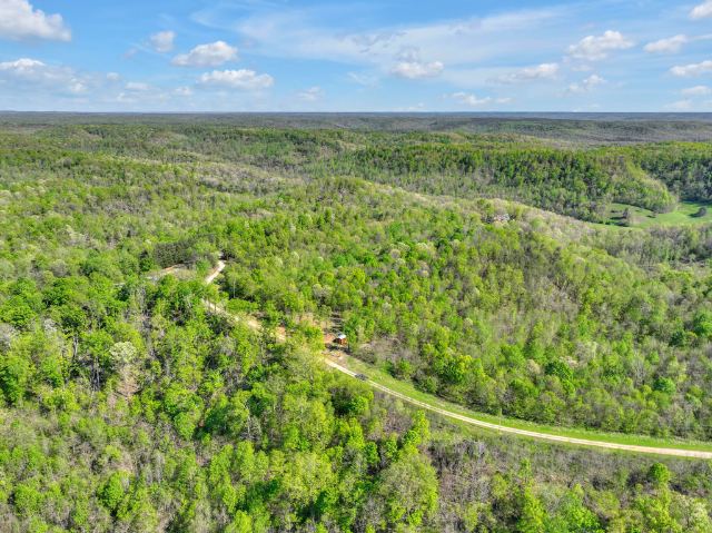
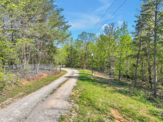
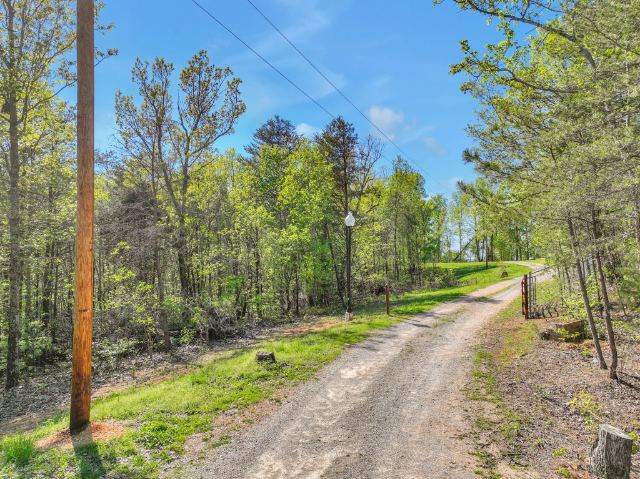
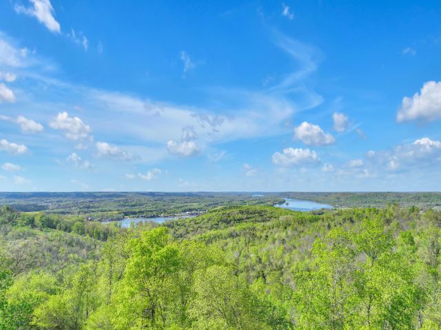
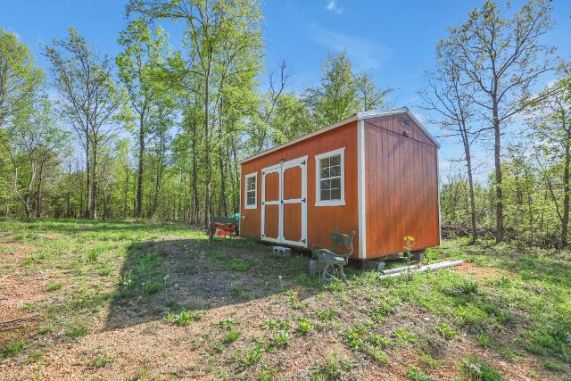
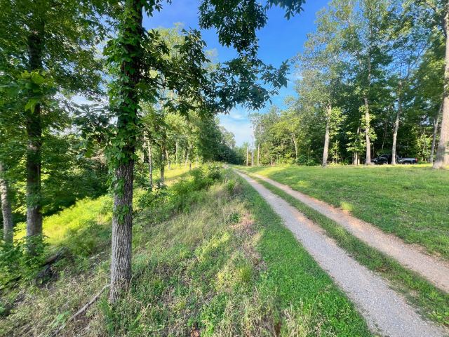
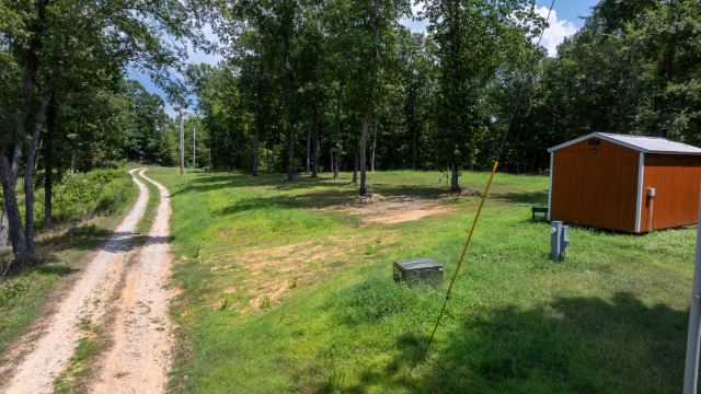
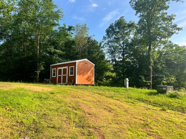
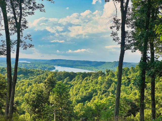
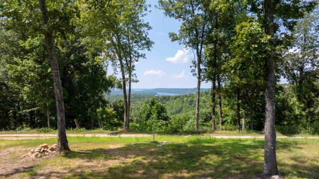
This build-ready Tennessee River estate on 26.4 acres offers a rare opportunity for development. With city water, electric service, and fiber internet all connected at the homesite, and a prior septic approval permit ready to renew, construction can begin immediately. The property features 1,290 feet of paved county road frontage and a private gravel road leading to the homesite. A storage building is already on the property. Adjacent conservation land protects the Tennessee River views and privacy. Ideal for a custom estate, barndominium, luxury river cabin, short-term rental, glamping development, homestead, or agricultural use.
MLS 3060568
Listed with eXp Realty
Linden, TN 37096
3202 Old Lego School Road
“The only build-ready Tennessee River estate currently available in Perry County.”
Buyer due diligence
Buyer Due Diligence Report
Prepared September 30, 2026 by Jason Galaz, Find a Home & Find Land in Tennessee Team, brokered by eXp Realty
Most rural land leaves a buyer guessing about three things: where the water comes from, whether the ground will take a septic system, and where a house can actually go. This report answers all three for 3202 Lego School Road from the county, state, and soil records, and lays out what to verify before you buy.
The highlights are below. The full 25-page report adds the recorded plat, the deed, both state electrical inspection letters, the county tax records, and the septic permit and its site drawing.
What you are buying
3202 Lego School Rd is a 26.4-acre wooded corner tract in the river-bluff country of western Perry County, about 14 road miles west of Linden and roughly one straight-line mile from the Tennessee River. The parcel wraps the corner of Lego School Rd and New Era Bluff Rd with about 1,290 feet of paved county frontage, carries no zoning and no HOA per the listing, though the recorded deed is subject to a 50-foot access and utility easement (Deed Book D-7, Page 334), and pays $56.00 per year in property tax under a Forest classification shown on the county tax notices. It last transferred May 19, 2020 (Deed Book D32, Page 131) and is listed today at $249,999 (Realtracs MLS 3060568, eXp Realty, active as of September 30, 2026).
For most rural Tennessee land, two questions decide everything: where will water come from, and will the ground take a septic system. This parcel arrives with both questions substantially answered. City water is reported active at the homesite with the supply line running along the road frontage, which is genuinely uncommon this far out. Electric service is installed: a 200-amp underground service with the power company meter set and a feed-through disconnect panel already energizing the storage building, with spare conduit stubbed toward the house site, per the seller's video walkthrough. Fiber internet is connected to the home build site. And in 2022 the state approved a conventional 3-bedroom septic system on the homesite bench: that construction permit has since expired, but the soils evaluation behind it is the hard part, and the file gives a renewal a clear head start.
The honest counterweight is topography. This is hollow country: LandGate models the parcel's average slope at about 30 degrees with maximums near 61, and roughly 20 of the 26 acres are steep hollow walls mapped in class 7 soils. The buildable land is real but concentrated: about 6 acres of Biffe gravelly silt loam (soil score 75 of 100, the best in the area) forming the north bench where the utilities, the cleared homesite, and the approved septic area all sit, plus a ridge tongue running south from it. Buyers should price this as a served, build-ready homesite attached to 20 acres of privacy, timber, and habitat, not as 26 acres of usable ground.
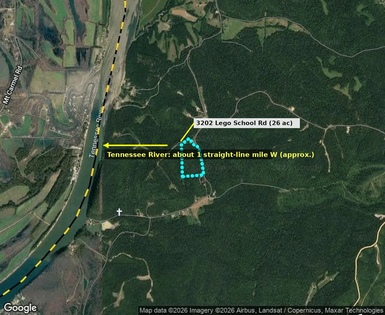
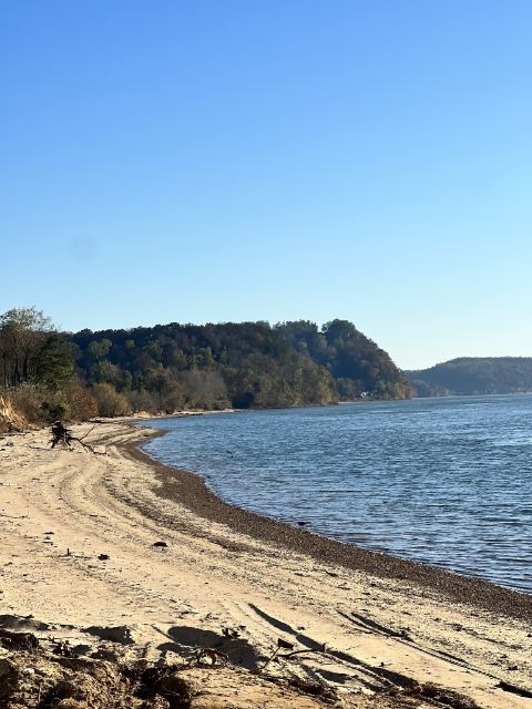
Context: the parcel (outlined) sits about one straight-line mile east of the Tennessee River; the yellow dashed line follows the river along the county boundary. Public boat access in the New Era Landing and Kelly Landing area is a short drive west (the listing cites about three minutes; verify your preferred ramp).
Key facts
Parcel
Perry County Map 119, Parcel 019.00, at the corner of Lego School Rd and New Era Bluff Rd. Also styled 3202 Old Lego School Rd in some listing feeds; both refer to this parcel.
Acreage
25.53 acres per the recorded deed (Deed Book D32, Page 131) and the CRS assessor file; 26.4 acres per the listing and 26.42 acres per LandGate GIS. A new boundary survey of the tract as divided is the way to settle acreage and frontage.
Road frontage
The listing reports about 1,290 ft of paved county frontage on Lego School Rd; confirm frontage and road status with a survey and the Perry County Highway Department.
Zoning and restrictions
No county zoning and no HOA. MLS lists Restrictions NONE, but the recorded deed is subject to a portion of a 50-foot access and utility easement (Deed Book D-7, Page 334); have title counsel pull and map it.
Taxes
$56.00 per year per the Perry County Trustee; the county notices list Classification: Forest. Confirm the classification, enrollment date, and rollback exposure with the Perry County Assessor.
Flood
CRS Data reports FEMA Zone X, an area of minimal flood hazard (FIRM panel 47135C0350D, effective 9/29/2010); confirm the panel at the FEMA Map Service Center before relying on it.
Last transfer
May 19, 2020 (Deed Book D32, Page 131, confirmed by the 10/16/2025 Trustee receipt).
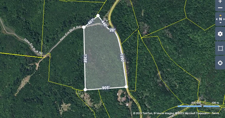
Measured boundary layout from the seller's packet. North lines 407, 440, and 26 ft; west line 1,368 ft; east line 1,290 ft along Old Lego School Rd, matching the advertised 1,290 ft of frontage; south line 905 ft. Imagery credit 2023 TomTom, Vexcel Imaging, Microsoft.
The utility package, and how to verify it
What separates this parcel from nearly every other wooded tract in western Perry County is that the expensive, slow, permission-dependent site work is already done. The listing describes the package as more than $130,000 of completed infrastructure; that is a seller-advertised figure, and buyers who want to underwrite it should ask for invoices or itemized costs.
Element
Status reported
Buyer verification
City water
Tap active at the homesite; supply line runs along the road frontage
Confirm provider account, meter status, and any transfer or tap fees with the City of Linden utility office
Electric
200-amp underground service with power company meter and a feed-through main-breaker panel serving the storage building (seller video). State electrical permit 2022030273 was issued March 31, 2022 and shows an expiration date of March 30, 2024. Every inspection performed under it passed: 556107932, Temporary Inspection 0-200, on 04/05/2022, and 556199770, Electrical Rough-In Inspection, on 07/20/2022.
Ask the State Fire Marshal's Office for the status of permit 2022030273 and whether the service is still classed as temporary; confirm service and account transfer with MLEC; have an electrician inspect the panel
Spare conduit
2-inch conduit stubbed toward the house site; 1.25-inch conduit run for pole lights; power available at the gate
Locate and camera or pull-test conduits during the inspection period
Fiber internet
Fiber connected to the home build site
Confirm the active service and account transfer with MLConnect
Septic site
State-evaluated and previously permitted homesite bench
Request permit reissue through the TDEC Columbia Environmental Field Office
Drive and gate
Gated entrance; gravel drive to the cleared homesite; second drive cut near the south corner
Walk both entrances; confirm any driveway permits the county may want for new culverts
Storage building
On site and powered
Include in inspection; confirm it conveys
Swipe the table sideways to see every column.
Septic: what was approved, what expired, and the path back
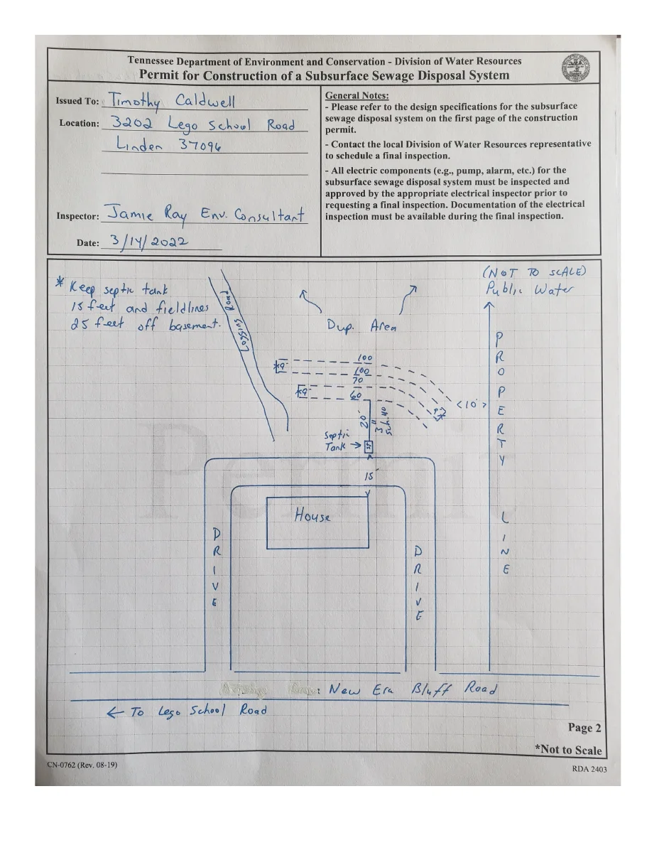
On March 14, 2022, TDEC's Division of Water Resources issued a Subsurface Sewage Disposal System construction permit for this address. The approved design is a conventional system for a 3-bedroom home: a 900-gallon two-compartment tank and 330 linear feet of field line in four trenches, at a design absorption rate of 60 minutes per inch.
The construction permit itself was valid for three years and expired on March 14, 2025. What expires is the authorization to construct, not the soils. If the approved area has not been disturbed, compacted, built over, or driven across, reissue is normally a routine matter of reapplying through the TDEC Columbia Environmental Field Office, which may re-verify the site.
Plain English: The state looked at this exact bench and said yes to a conventional 3-bedroom system at a healthy 60 minutes per inch. The paperwork lapsed in March 2025; the dirt did not change. Budget a reapplication, keep the field area untouched, and confirm the reissue with TDEC Columbia EFO before you commit to a floor plan.
Exhibit: permit site drawing (not to scale). House fronting New Era Bluff Rd with horseshoe drive; tank 15 ft behind the house; four field lines (60/70/100/100 ft) fanning toward Lego School Rd; duplicate area beyond; public water line along the property frontage; inspector note on basement setbacks.
Where to build: Zones A, B, and X
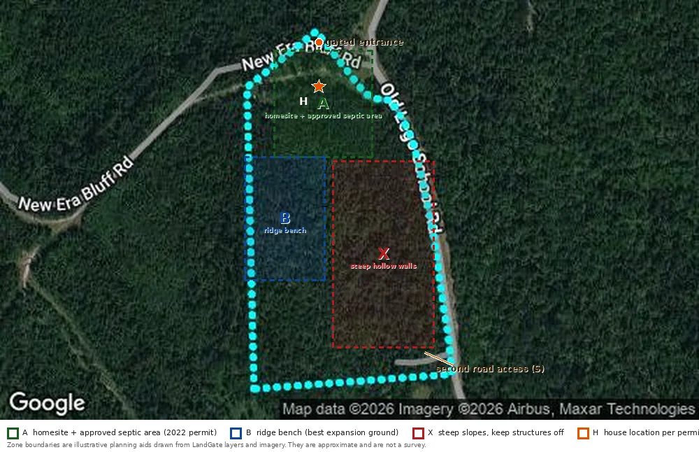
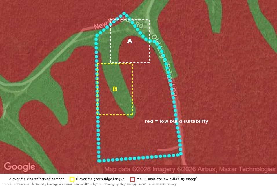
Zone A: the north bench homesite with utilities in place and the 2022-approved septic area (H marks the house location from the permit drawing; the orange dot marks the gated corner entrance). Zone B: the ridge bench running south, the natural expansion ground. Zone X: steep hollow walls. A second road access enters near the south corner.The same A and B outlines over LandGate's building-suitability layer: green marks the ground the model likes, red the ground it does not. The model and the state's 2022 septic evaluation agree on the same bench.
Zone A is where the money has already been spent: water at the frontage, the electric service and powered storage building, the cleared homesite, the horseshoe-drive geometry from the permit drawing, and the approved primary and duplicate septic areas. Build here first. Zone B is the same landform continuing south: a bench of workable ground suited to a shop, barn, orchard, garden plots, guest cabin, or a second homesite (a second dwelling means a second septic evaluation; the bench gives TDEC something to work with). Zone X is the rest of the parcel: hollow walls too steep for structures but exactly right for timber, wildlife, and the privacy that makes the bench feel remote. The second road access near the south corner is a quiet asset: it reaches the lower hollow for logging, hunting access, or a future trail network without routing traffic past the house.
Independent checks landing on the same answer is what a buyer wants to see. The suitability model, the USDA soil lines, the seller's site work, and TDEC's 2022 evaluation all converge on the north bench and its southward tongue.
Soils: where the buildable ground is
USDA soil mapping (as compiled by LandGate) divides the parcel into five units. One of them is the whole story: Biffe gravelly silt loam on 5 to 15 percent slopes (map unit BbC) covers about 6 acres and sits exactly where the utilities, the cleared homesite, and the 2022 septic approval sit.
Unit
Acres
Class / score
What it is
What it means here
BbC
6.0
Class 4, score 75
Biffe gravelly silt loam, 5-15% slopes; bedrock about 2.7 ft
The buildable bench: homesite, septic, garden, and any second site all belong on this unit
East and south hollow walls; timber and habitat ground, not building ground
BSF
8.2
Class 7, score 26
Steep stony complex, similar terrain
West hollow flank; same treatment as GdF
TbE / BbD
0.5
minor
Small steep and moderate remnants
Edges only; no planning weight
Swipe the table sideways to see every column.
Bedrock runs shallow, modeled around 2.7 feet, which is normal for these limestone benches: full basements often mean rock excavation, so get your excavator's opinion early and let the 2022 permit's basement setback note guide the pad location.
Water: city tap first
The headline is municipal: city water is reported active at the homesite, with the supply line shown along the property frontage on the 2022 permit drawing. Confirm the account, meter, and any transfer fees with the City of Linden utility office as a contract task. Because the parcel is served, no well is required; the groundwater picture below is included so a buyer knows what a backup or agricultural well would look like.
A TDEC water-well map search at this address (September 30, 2026) shows no logged well on the parcel, which is the clean answer for a tract that has never had a dwelling. The nearest logged wells sit a third to half a mile north and west along New Era Landing Rd and Kelly Landing Rd.
Well / year
Location
Depth
Bedrock
Water strike
Yield / quality
20074898 (2007)
Kelly Landing Rd
145 ft
16 ft
40 ft
20 gpm, GOOD
20110575 (2011)
351 New Era Landing Rd
100 ft
25 ft
40 ft
20 gpm, GOOD
20241289 (2024)
611 New Era Landing Rd
143 ft
14 ft
32 ft (broken zone)
2.5 gpm, clear, slight sulfur
Swipe the table sideways to see every column.
The pattern across all three wells: thin soil over limestone, water struck shallow (32 to 40 feet) in fractured carbonate rock, wells finished at 100 to 145 feet. If a buyer ever adds a barn or garden well, this is favorable drilling: shallow strikes, modest depths, and no dry holes in the local record.
Best uses for the land, ranked
Every serious use of this parcel starts from the same fact: one served, state-evaluated bench attached to twenty steep, private, wooded acres. Ranked by fit:
Custom home or barndominium on the bench. The land's own plan. Utilities in, drive in, homesite cleared, septic bench evaluated with a basement expressly contemplated in the permit file. A barndominium suits the shallow-bedrock bench especially well (slab or partial-basement designs). This use captures every dollar already in the ground.
Luxury short-term rental or river cabin. River-adjacent privacy, conservation-protected views, and boat access minutes away are exactly what the rural STR market rents. No county zoning means minimal regulatory friction; confirm current county and state STR rules and tax registration before underwriting income.
Homestead / mini-farm. The BbC bench takes gardens and small livestock; the 210-day growing season and city water remove the two usual homestead bottlenecks. Zone B is the pasture-conversion candidate; a farm pond in a hollow head is possible but takes engineering in karst-capable ground.
Hunting and recreation base. A 50-year oak stand pouring mast into funneled hollows, next to 140 protected acres, with a second road access for quiet entry. As a turnkey camp, the powered storage building already works.
Long-horizon timber. Managed white oak appreciates; stave-quality demand is real. This is the patient overlay on any of the uses above, not a standalone reason to buy 26 acres.
Your due diligence checklist, in order
Walk the bench and both road entrances; stand on the homesite in the permit drawing and check the leaf-off river view.
Commission a boundary survey. The plat in the seller's file (Plat Book P1, Page 69, reproduced in the full report) is the 2008 survey of the land this parcel came from and predates the 2020 division. The deed (Book D32, Page 131, description page reproduced in the full report) describes 25.53 acres by metes and bounds, the listing and GIS show 26.4 to 26.42 acres, and the 2025 county tax receipt lists 37.0000 calculated acres. Have the surveyor tie the deed calls to the recorded plat, recover the monuments, confirm road frontage, and locate the 50-foot access and utility easement referenced in Deed Book D-7, Page 334.
Contact TDEC's Columbia Environmental Field Office: confirm the 2022 septic file for this parcel and start reissue of the expired construction permit; do not disturb the permitted field area meanwhile.
Verify utilities in your own name: City of Linden water account and meter status; MLEC electric transfer and a licensed electrician's look at the 200-amp panel; MLConnect fiber service transfer; locate the stubbed conduits. Review state electrical permit 2022030273 (issued March 31, 2022; expiration date March 30, 2024) and its two passed inspections, 556107932 (Temporary Inspection 0-200, 04/05/2022) and 556199770 (Electrical Rough-In Inspection, 07/20/2022), both reproduced in the full report. Every inspection performed passed; ask the State Fire Marshal's Office whether the service is still classed as temporary and what a new build will require.
Ask the seller for the infrastructure cost documentation behind the advertised $130,000+ figure.
Title work: the MLS reports no restrictions, but the deed is subject to a portion of a 50-foot access and utility easement (Deed Book D-7, Page 334), an instrument not found in the seller's file; have counsel pull and map it, and review the adjoining tract's conservation easement as it touches your boundary.
Confirm the tax classification with the Perry County Assessor. The 2022, 2024, and 2025 county notices show Classification: Forest with a $9,700 appraisal and $56.00 annual tax, but no greenbelt application or approval was found in the seller's records. Ask for the enrollment date, the rollback exposure, and what the buyer must file to keep the classification after transfer.
Commission a timber cruise if the stand factors into your value math.
If short-term rental is the plan, confirm current county and state STR requirements and tax registration.
Get insurance quotes early, including wind coverage; CRS reports FEMA Zone X (minimal flood hazard), so confirm with your lender that no flood insurance is required.
Drive Lego School Rd on a weekday to judge quarry-era truck traffic for yourself and confirm the quarry's current status.
This report compiles listing data, public assessment records, LandGate parcel analytics, soil mapping, and Tennessee Department of Environment and Conservation (TDEC) well and septic records to help buyers evaluate this property, including where to build, the status of the installed utility package, and the path to renewed septic approval. It is informational only. It is not a survey, appraisal, soil map, engineering study, inspection, or permit determination, and no outcome is guaranteed. Buyers should verify all items with licensed professionals and the agencies noted throughout. The preparing team represents the seller of this listing and of an adjoining listed tract; buyers should engage their own representation and advisors.